
Quail Mountain is the highest point in Joshua Tree National Park. It’s 5,814 ft above sea level.

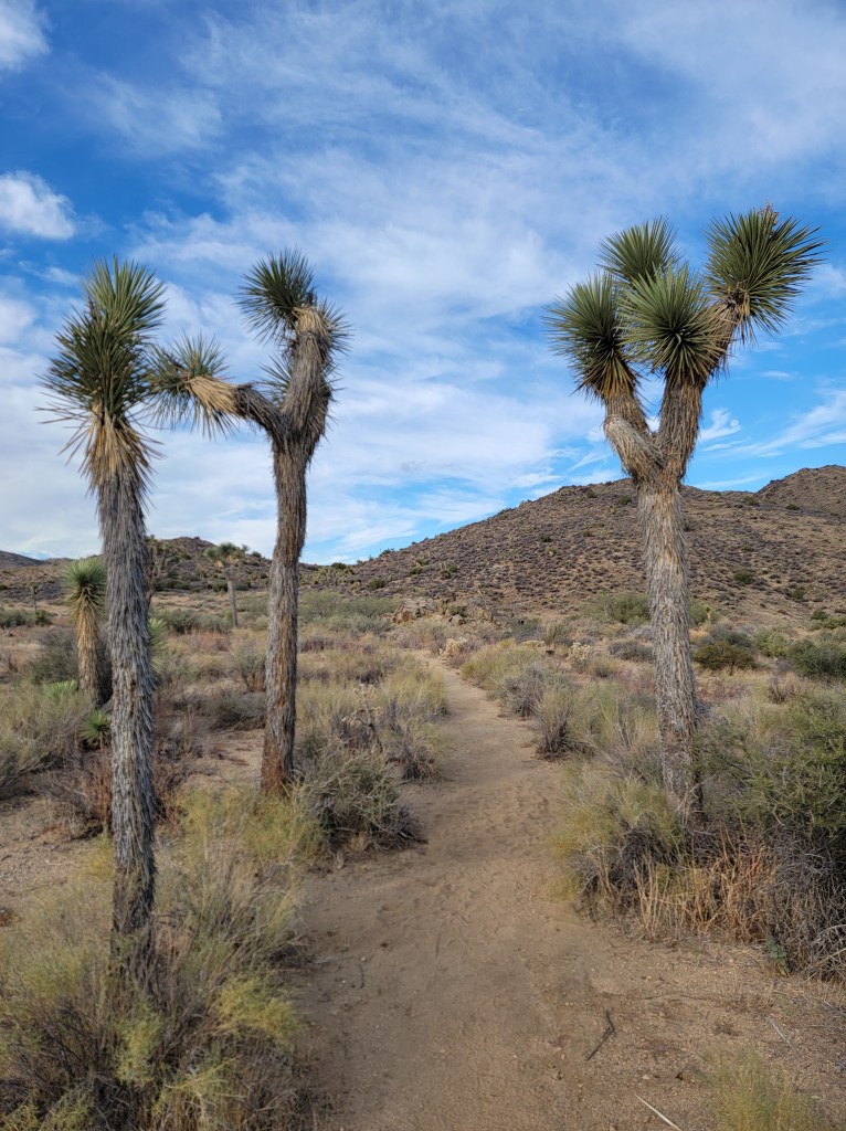
The trail starts at the Juniper Flats trailhead off of Keyes Road.

The Trail you looking for is the California Riding and Hiking Trail. You will take this Trail the entire way for about 5 miles until you reach the Juniper Flats Road. You could go straight and continue up the trail which will add a lot more miles and incline,
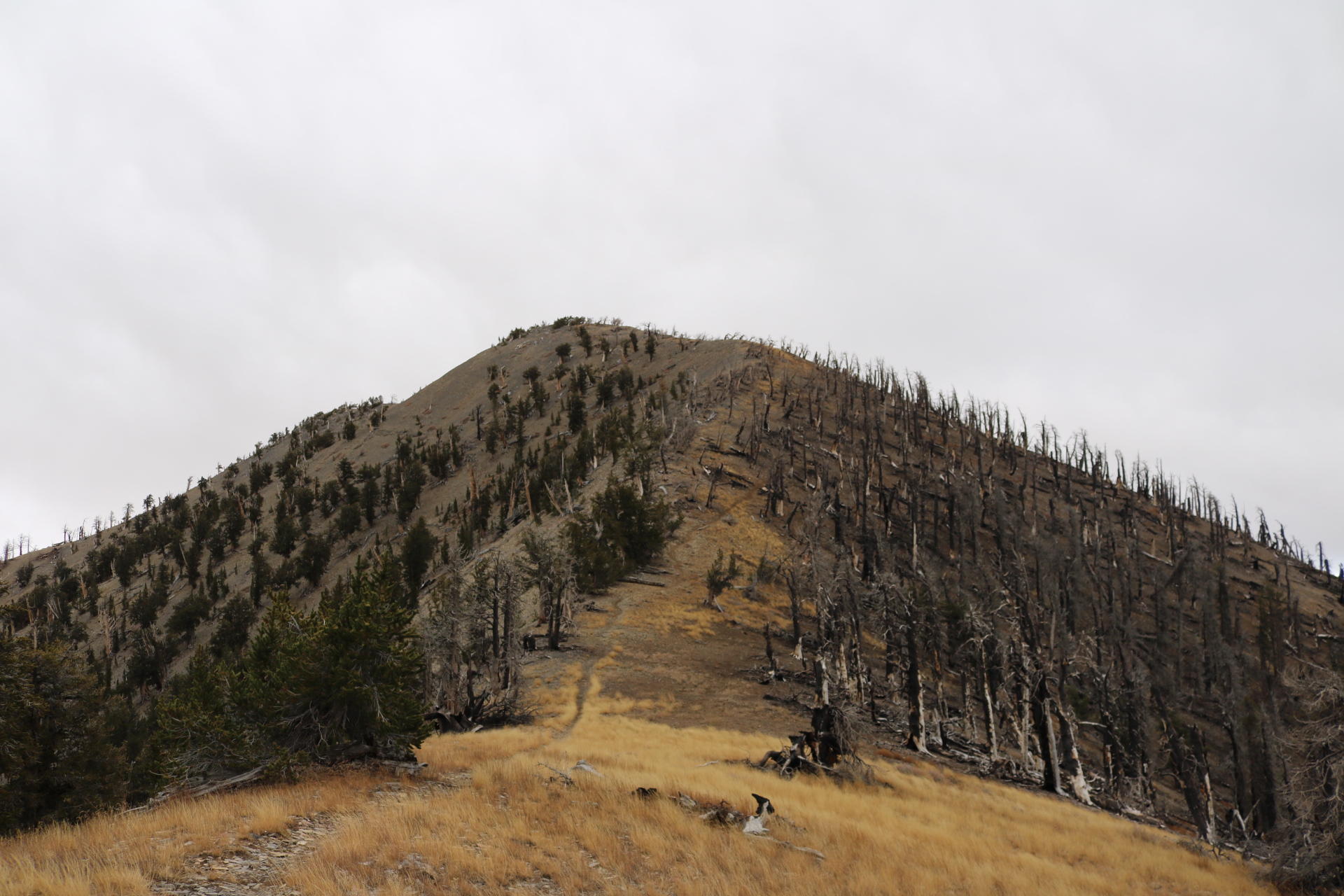
or you can make a right and follow till the road ends. Once the road end you will need to do some cross country hiking and head North to the ridge below the peak.

( I will attach a link to route at the bottom. )

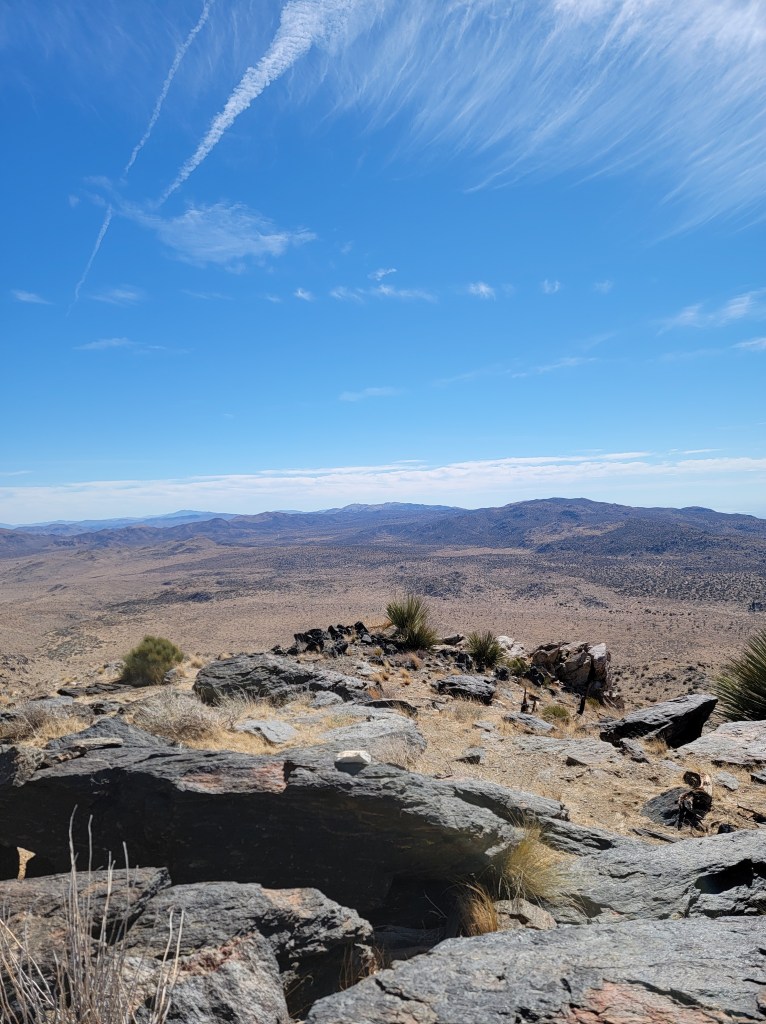
Once you head North from the end of the road and you hit a wash then you just have to navigate up the ridge and you’ll meet up with an existing trail and just head up to the summit.
This hike was 13.5 miles R/T with 1500 ft of gain. 1000 ft of gain in the last mile.
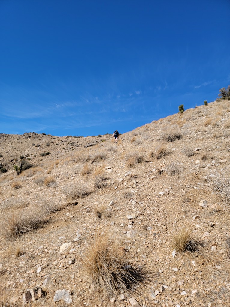
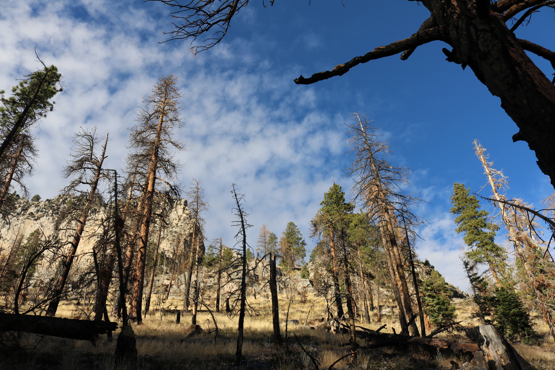
Hike was relatively easy and flat for the majority of the hike up until the ridge. Items needed: compass, map, lots of water. I brought 4 liters of water.
HIKE AT YOU OWN RISK.
DO NOT ATTEMPT IN THE SUMMER OR ON HOT DAYS.
• Difficult
• 13.5 Miles R/T
• Oct – March
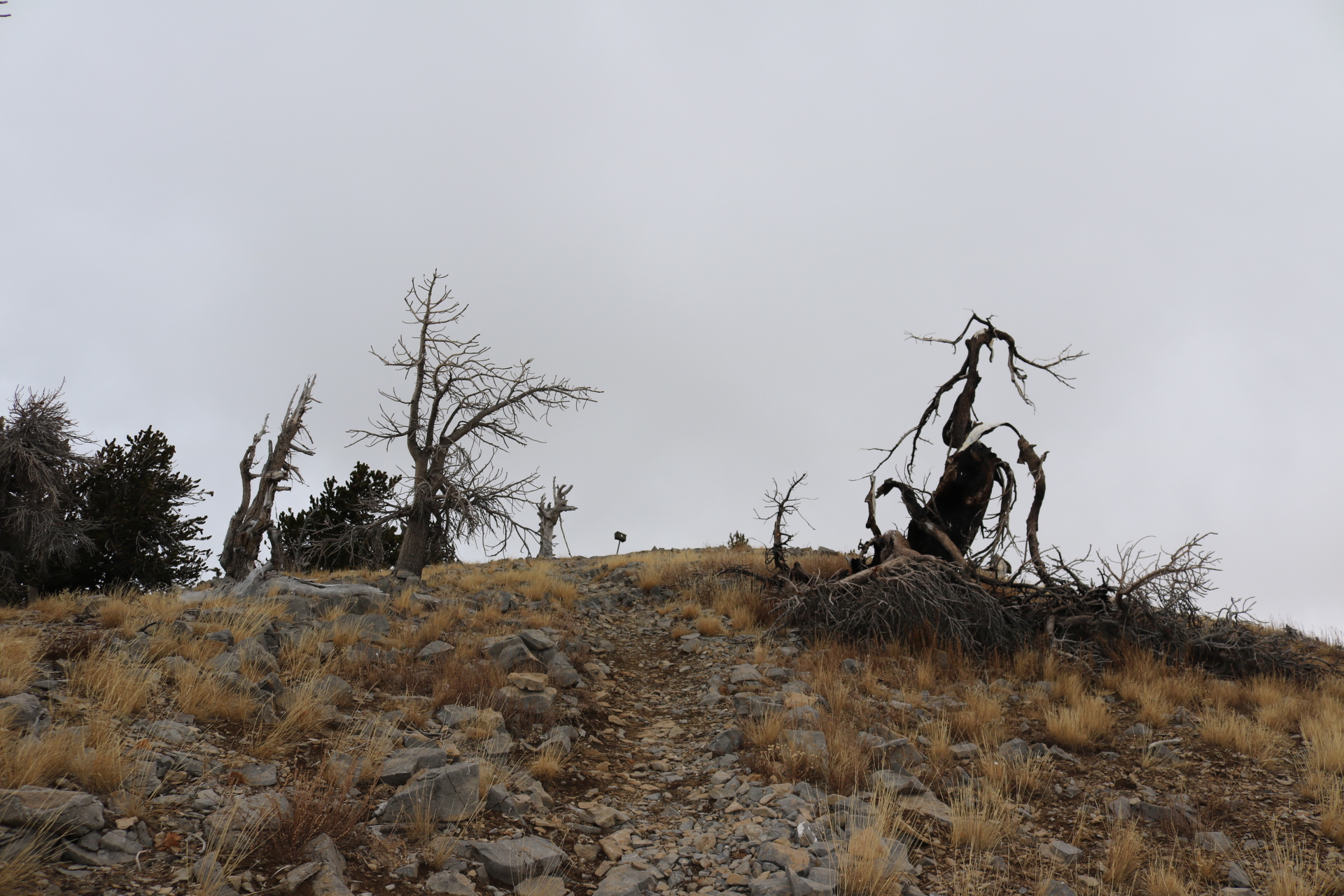
• No shade


.JPG")


